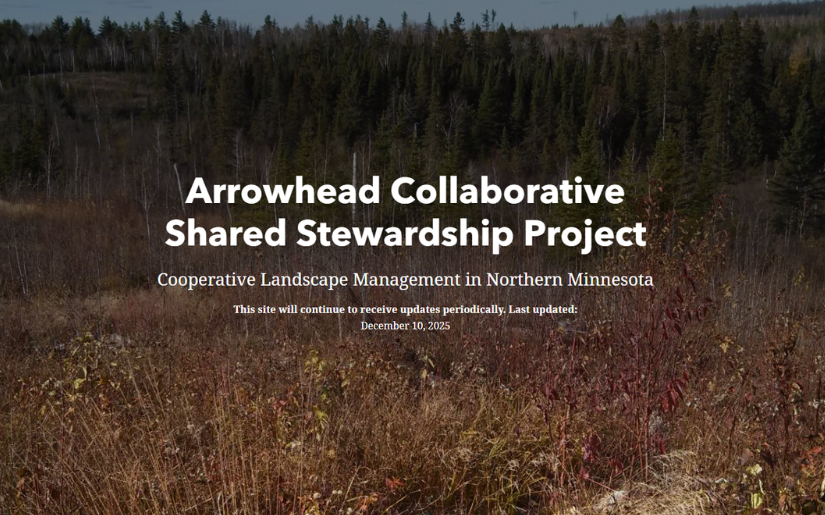
Arrowhead Collaborative Shared Stewardship Project
Arrowhead Collaborative Shared Stewardship Project
Cooperative Landscape Management in Northern Minnesota
The “Arrowhead” region of Minnesota is comprised of Cook, Lake, and St. Louis counties (sometimes argued to include Koochiching, Itasca, and Aitkin counties) and is named due to its triangularly pointed “arrowhead” shape. The Arrowhead Region encompasses the pristine lakes of the Boundary Waters, much of the Iron Range, and the sun dappled rivers and streams of Minnesota’s North Shore. This region of Minnesota is rural, heavily forested, contains thousands of lakes, and is comprised largely of public lands.
To get more information and view the rest of the StoryMap visit the Website here!


.png)